Leaflet Interactive Web Map for University Sustainability

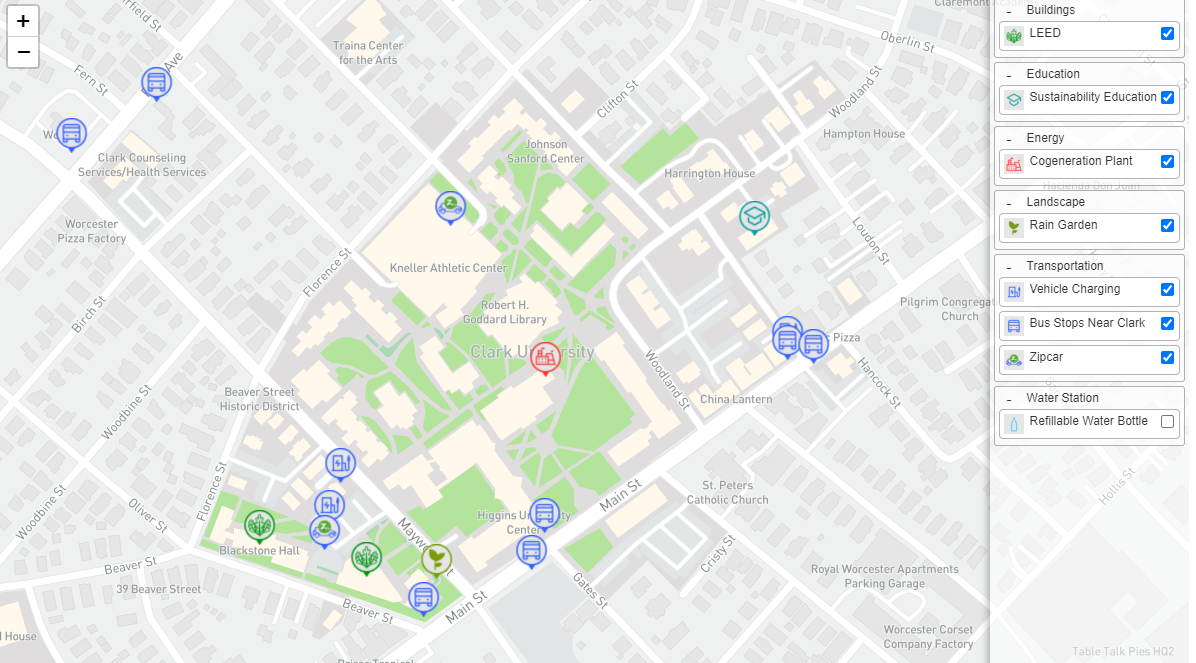
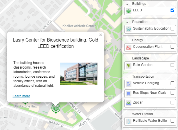
The Sustainable Clark Map was created as a resource to help people learn about sustainability at Clark University. Responsive and interactive features within this map allow users to know where things are quickly and effectively.
Why Making This Map?
Office of Sustainable Clark has done a good job of listing all the sustainable resources that are available on campus. However, the resources are presented in the form of text. As a user, I feel that there is a lot of information on the website, but it is hard for me to tell where exactly those resources are on campus. Many of the resource information is mappable since they have actual locations. Therefore, I decided to make an interactive web map to allow users to effectively learn Clark University's effort to promote a sustainable community.
Data and Tools
The campus base map was downloaded from OpenStreetMap. Mapbox Studio was then used to design and host the base map. Popup imformation and panel layers were built using Leaflet plugins. The code for this interactive web map can be found in my Github repository.
Office of Sustainable Clark helped me to obtain the data within the map. I converted all the data into Geojson format and organized all the imformation into the map.
