a MSGIS student at Clark University.
311 incidents feature layer made from lab 5.
A story map made with KnightLab Visualization.
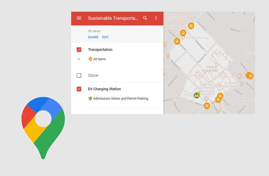
A Google map showing the sustainable transportation chioces avaliable at Clark University.
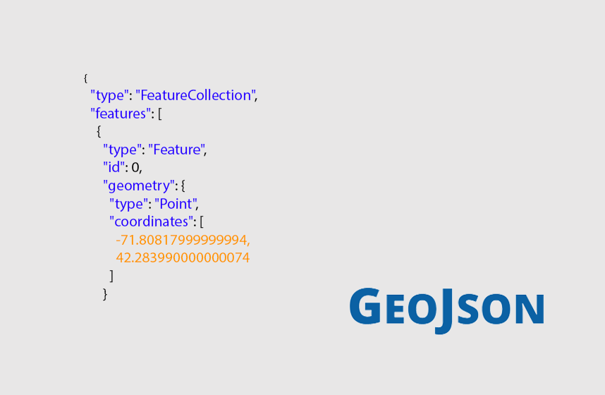
A map made using Leaflet and GeoJSON showing all bus stations in Worcester county.