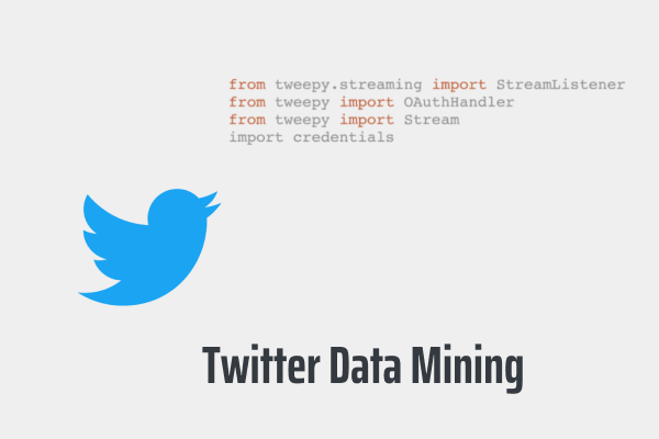
Spatio-temporal and Events Based Analysis of COVID-19 in Twitter
Natural language processing and spatial techniques were used to understand how people react to COVID-19 pandemics on Twitter.
I am a GIS analyst/developer with expertise in spatial analysis, data visualization, web mapping, and machine learning. I'm proficient in various GIS software and programming languages. I have enthusiasm for applying GIS to solve real-world challenges.
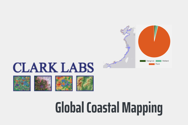
• Participated in developing deep learning architectures to examine growth in pond aquaculture to determine vulnerability in coastal habitats.
• Implemented semantic segmentation of pond aquaculture and mangroves using U-Net and Landsat imagery with TensorFlow and Keras.
• Using advanced coding to speed up automated classification procedures by 60%.
• Defined metrics for validation and developed automated scripts for the visualization of all final and intermediate products generated by the science team.
• Adapted methods into company's existing technology in Google Earth Engine and Python.
• Standardized and documented developed methods in code (JavaScript and Python).
• Worked with a team to research mangrove deforestation and the expansion of shrimp aquaculture.
• Conducted supervised land-use classification using machine learning techniques to identify changes in mangrove deforestation and shrimp aquaculture.
• Assisted students in understanding Physical Geography course contents by conducting lectures to groups of students.
• Assisted students in developing effective study skills and behaviors that lead to academic success.
• Supported office assistants in daily operations and the smooth functioning of the unit as a whole.
• Generated and updated GIS maps for university facilities department.
• Helped university facilities shifting CAD utility maps to GIS maps.
• Maintained database standards, communicating changes, and troubleshooting issues.
GPA: 3.9
Selected coursework: Web Mapping & Open Source GIS, Advanced Vector GIS, Advanced Raster GIS, Advanced Remote Sensing, GIS & Map Comparison,
Geospatial Analysis with R, Web
Development, Quantitative Methods, GIS for International Development in Practice.
GPA: 3.7
Selected coursework: GIS Programming, Remote Sensing, Introduction to GIS & Maps, GIS & Data Management, GIS Analysis, Programming Fundamentals.
Apart from being a GISer, I enjoy most of my time being outdoors. I enjoy hiking, playing basketball, and kayaking.
When forced indoors, I follow a number of sci-fi and fantasy genre movies and television shows, I am an aspiring chef, and I spend a large amount of my free time exploring the latest technolgy advancements in the GIS world.